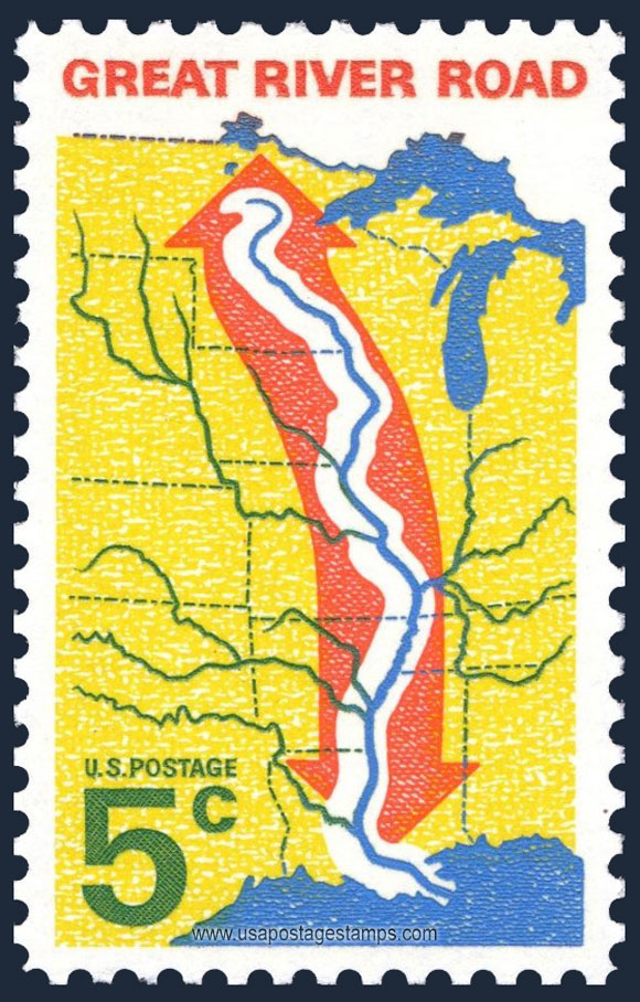
US 1966 Great River Road 5c. Scott. 1319

Series: Great River Road Issue
Stamp details: Map of Central United States with Great River Road
Issued date: 21-10-1966 (dd/mm/yyyy)
Face value: 5c.
Emission: Commemorative
Watermark: No Watermark
Catalogue No:-
Scott (USA): 1319
Stanley Gibbons (UK): 1299
Michel (Germany): 910x
Yvert et Tellier (France): 812
Dimensions (height x width):
40mm x 26mm
Printer: Bureau of Engraving and Printing
Print Method: Giori Press
Stamp Colors: Vermillion, yellow, blue and green
Perforation: Perf 11 x 11
Paper: Normal
Themes: Map, River
Total print: 127,585,000 (estimate)
Description: The Great River Road is a collection of state and local roads that follow the course of the Mississippi River through ten states of the United States. They are Minnesota, Wisconsin, Iowa, Illinois, Missouri, Kentucky, Tennessee, Arkansas, Mississippi and Louisiana. It formerly extended north into Canada, serving the provinces of Ontario and Manitoba. The road is designated as both a National Scenic Byway and an All-American Road in several states along the route.
Source: en.wikipedia.org/wiki/Great_River_Road
Source: en.wikipedia.org/wiki/Great_River_Road
* Philatelic Auction Houses
* Philatelic Books
* Philatelic Federation
* Philatelic Libraries
* Philatelic Magazines
* Philatelic Society
* Stamp Dealers Association
* Stamps Exhibitions
* US Post Offices
* Worldwide Philatelic Bureau